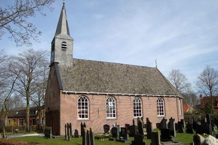
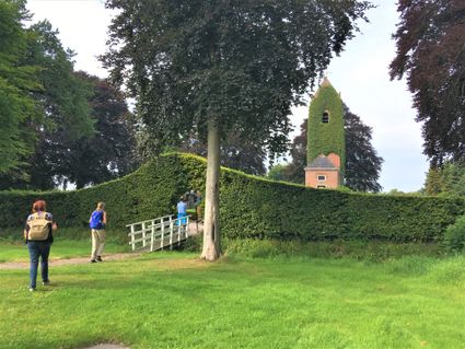
Rottevalle – Opeinde | Section 8 of the Circular Route through the Noardlike Fryske Wâlden National Landscape conservation area
This section of the route leads through an area characterised by countless rows of alders to the village of Eastermar. You then continue on to De Leijen lake, which was created by peat cutting. The marshes and natural drainage land around the lake provide a plentiful supply of food for the many birds that come here to feed and rest.
Circular Route through the Noardlike Fryske Wâlden National Landscape conservation area
The combination of cultural history and natural elements makes the Noa…
This section of the route leads through an area characterised by countless rows of alders to the village of Eastermar. You then continue on to De Leijen lake, which was created by peat cutting. The marshes and natural drainage land around the lake provide a plentiful supply of food for the many birds that come here to feed and rest.
Circular Route through the Noardlike Fryske Wâlden National Landscape conservation area
The combination of cultural history and natural elements makes the Noardlike Fryske Wâlden National Landscape conservation area unique in Europe. A network of walks covering 165 kilometres leads you through ancient landscapes where traces of the past dating back hundreds of years are still visible. Pingos formed in the Ice Age, boulder clay deposits in the subsoil, areas where peat formed and was cut and small-scale farmland enclosed by rows of alders and wooded banks. Today these trees that were planted to contain livestock and prevent sandy soil from being eroded, play an important role in preserving the unique biodiversity in the region. Local farmers are largely responsible for the maintenance of this unique hedgerow and woodland landscape that is probably one of Friesland’s best kept secrets.
It is possible to start anywhere along the 165 kilometres of the Circular Route through the Noardlike Fryske Wâlden National Landscape conservation area. The route is signposted with red and yellow trail markers and runs from the town of Burgum, through the Trynwâlden area to the villages of Damwâld, Kollum, Buitenpost, Oudega and Eastermar, eventually arriving back in Burgum.
Sights on this route
Starting point
Efterwei
9221 SK Rottevalle
Navigate to starting point

De Leijen Nature Reserve
De Leijen is a beautiful nature reserve that includes a lake with small islands and rich surrounding nature that is worth exploring.


End point
Kommisjewei
9218 RS Opeinde
Navigate to endpoint
- 41
- 39
- 64
- 43
- 65
- 76
- 52
- 43
- 51
- 55
- 23
- 29
- 28
- 68
